
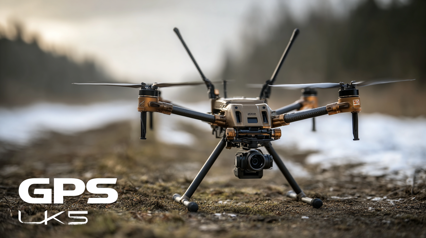
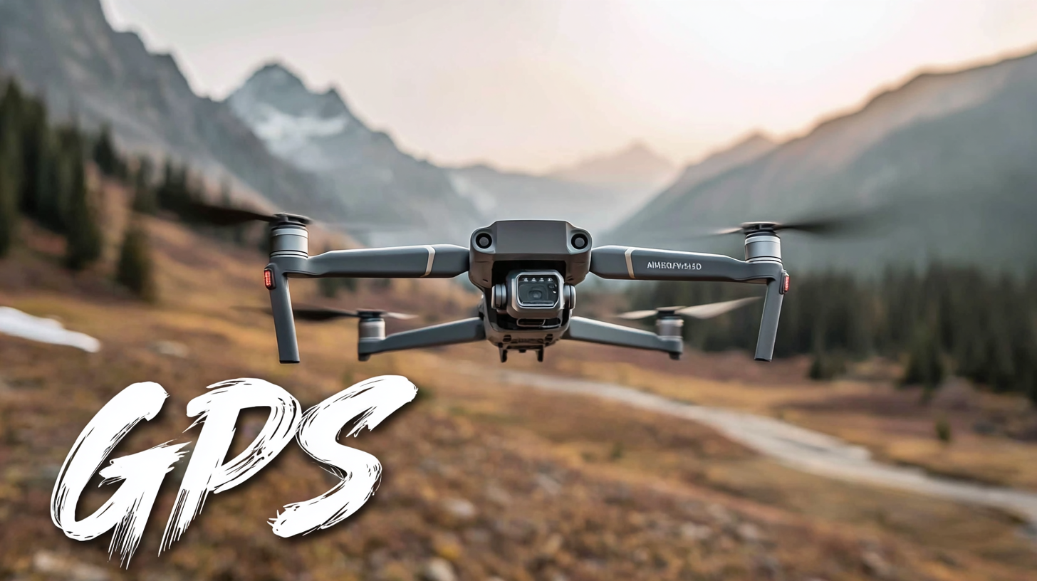
Top 5 Unique Uses for the Best GPS RC Drone That Will Surprise You
In recent years, the adoption of GPS RC drones has surged, with the drone market projected to reach $43 billion by 2024, according to a report by the Consumer Technology Association. These innovative flying devices are no longer just tools for hobbyists; they have emerged as versatile instruments across various industries. From agriculture monitoring to search and rescue operations, the applications of GPS RC drones are expanding rapidly, surprising many with their functionality beyond mere aerial photography. As industries continue to recognize the potential of these tech-savvy machines, understanding how to find high-quality suppliers has become paramount.

In this blog, we explore the top five unique uses for the best GPS RC drones that will not only astonish you but also highlight the importance of sourcing them from reputable vendors. Whether you are a professional or a hobbyist, the insights provided will guide you in leveraging these remarkable devices to their fullest potential.
Table of Contents
[Hide]
Unique Terrain Mapping: How GPS RC Drones Are Revolutionizing Surveying with 3D Data Collection
In recent years, GPS RC drones have emerged as a groundbreaking tool in the field of surveying, particularly in unique terrain mapping. These drones are now capable of capturing intricate details of diverse landscapes, enabling surveyors to create highly accurate 3D models. With advanced GPS technology, these drones can efficiently fly predetermined paths, ensuring comprehensive coverage of the area while significantly reducing the time and labor involved in traditional surveying methods.
One of the most striking innovations brought forth by GPS RC drones is their ability to traverse difficult-to-reach terrains, such as rugged mountains and dense forests. The aerial perspective provided by these drones allows surveyors to gather data from angles that were previously impossible to achieve. This capability not only enhances the precision of topographical surveys but also facilitates environmental monitoring and disaster management, as data can be collected rapidly during critical situations. As a result, the integration of drones into surveying practices is revolutionizing the industry, paving the way for smarter, more efficient mapping processes.
Agricultural Precision: Utilizing GPS RC Drones for Optimized Crop Monitoring and Yield Prediction
Agricultural Precision has reached new heights with the advent of GPS RC drones, revolutionizing the way farmers monitor crops and predict yields. These high-tech devices are equipped with advanced sensors and imaging technology that allow for precise observations of field conditions. Drones can easily cover vast areas of farmland in a fraction of the time it would take a human, capturing detailed data that is essential for informed decision-making. Farmers can identify sick plants, assess soil health, and monitor irrigation systems, ensuring that every inch of land is optimized for the best possible harvest.
Moreover, the predictive capabilities of GPS RC drones extend beyond mere observation. By analyzing the data collected, farmers can forecast crop yields with remarkable accuracy. This foresight enables them to plan their planting strategies more effectively, manage resources efficiently, and mitigate risks associated with unpredictable weather patterns. As a result, not only do GPS RC drones enhance current farming practices, but they also contribute to sustainable agricultural methods that are crucial for meeting the demands of a growing population. The integration of these drones into modern farming is setting a new standard for agricultural precision and productivity.
Real-Time Disaster Assessment: Innovative Applications of GPS RC Drones in Emergency Response Operations
In recent years, GPS RC drones have emerged as invaluable tools in emergency response operations, especially during disaster assessment. Their ability to capture high-resolution aerial imagery in real time allows responders to quickly survey affected areas, enabling effective decision-making in crisis situations. For instance, during natural disasters like hurricanes or floods, drones can provide a bird's-eye view of damage, helping teams prioritize their resources and strategies without putting human lives at risk.
Moreover, the integration of GPS technology enhances the functionality of these drones, allowing them to navigate challenging environments with precision. They can autonomously map large areas, identifying hazards such as downed power lines or blocked roads. This capability significantly speeds up the assessment process, as each drone can cover expansive terrains in a fraction of the time it would take ground crews. The data collected can also be shared in real-time with disaster management agencies, leading to coordinated responses that save lives and property.
Event Photography Redefined: Elevating Aerial Imaging with GPS RC Drones for Special Occasions
In the realm of event photography, GPS RC drones are revolutionizing how we capture special occasions. Not only do they provide stunning aerial views, but they also enable photographers to tell stories from unique perspectives, adding a dynamic element to traditional photography. According to a recent report by the Drone Industry Insights, the market for commercial drones, including those used for photography, is expected to exceed $11 billion by 2026, underscoring the growing demand for advanced aerial imaging tools.
For event planners and photographers looking to elevate their work, using GPS RC drones brings several advantages. Tip: Invest in a quality drone with 4K video capabilities to ensure high-resolution imagery. Additionally, understanding local regulations regarding drone usage is crucial; always check airspace restrictions to avoid fines or disruptions during events.
Furthermore, utilizing drones can enhance guest experiences by offering unique photo opportunities. Tip: Coordinate with your clients to capture key moments from above, such as the first dance or cake cutting, to create unforgettable memories. By integrating drones into your photography arsenal, you not only stay ahead of the curve but also create a memorable impact that will surprise and delight clients.
Secure Deliveries: Exploring the Future of Logistics Using GPS RC Drones for Last-Mile Solutions
The logistics industry is on the verge of a revolution, and GPS RC drones are taking center stage in transforming last-mile delivery solutions. These innovative flying machines offer a unique advantage by enabling secure and efficient deliveries that were previously deemed impractical. With the ability to navigate complex urban environments and access difficult-to-reach areas, GPS drones can significantly reduce delivery times and enhance service reliability.
As companies explore the future of logistics, integrating GPS RC drones into their delivery systems can streamline operations and lower costs. For instance, instead of relying solely on traditional vehicles stuck in traffic, drones can zip across rooftops and avoid congestion, ensuring that packages arrive on time. Additionally, their advanced GPS technology ensures precise tracking and real-time updates, providing customers with peace of mind as they await their deliveries. The potential applications range from medical supplies in emergencies to everyday grocery deliveries, showcasing the versatility and efficiency of this technology. Embracing GPS drone deliveries can redefine logistics and pave the way for a smarter, more efficient future.
Top 5 Unique Uses for the Best GPS RC Drone That Will Surprise You - Secure Deliveries: Exploring the Future of Logistics Using GPS RC Drones for Last-Mile Solutions
| Use Case | Description | Advantages | Challenges |
|---|---|---|---|
| Food Delivery | Using drones to deliver meals from restaurants to consumers. | Speed, reduced traffic congestion, and reduced delivery costs. | Regulatory hurdles and limited payload capacity. |
| Medical Supplies | Transporting critical medical supplies to remote areas. | Fast delivery in emergencies, access to hard-to-reach areas. | High costs and need for specialized equipment. |
| Package Delivery | Delivering retail packages directly to customers' doorsteps. | Increased efficiency, convenience for consumers. | Privacy concerns and potential for theft. |
| Agricultural Monitoring | Delivering agricultural supplies or monitoring crops. | Real-time data collection, improved crop management. | Need for skilled operators and data analysis software. |
| Event Coverage | Using drones to deliver items or updates during events. | Enhanced attendee experience and engagement. | Technical difficulties and need for additional personnel. |